Geology
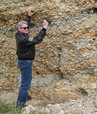
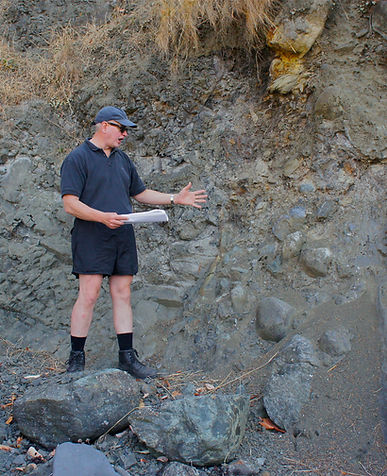
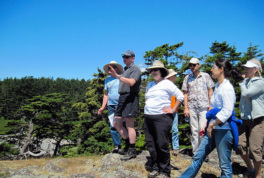
Michael Edward Yeaman began his academic studies at Stanford University in 1975. He graduated with a Bachelor’s Degree in Geology/Geophysics and a Master’s Degree in Exploration Geophysics in 1980. He has spent the last 45 years fascinated with the geosciences and its many aspects of time, space and beauty. He left his career as a professional geoscientist and energy consultant moving to Orcas Island in 2004. Since then, he has developed and conducted regional geologic field trips for local schools, charities and personal enjoyment. He has assisted in the continued scientific exploration and understanding of this region. Michael is well known as an enthusiastic and infectious teacher who loves his subject.
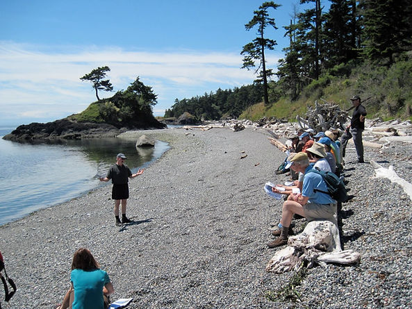
Select Field Trips
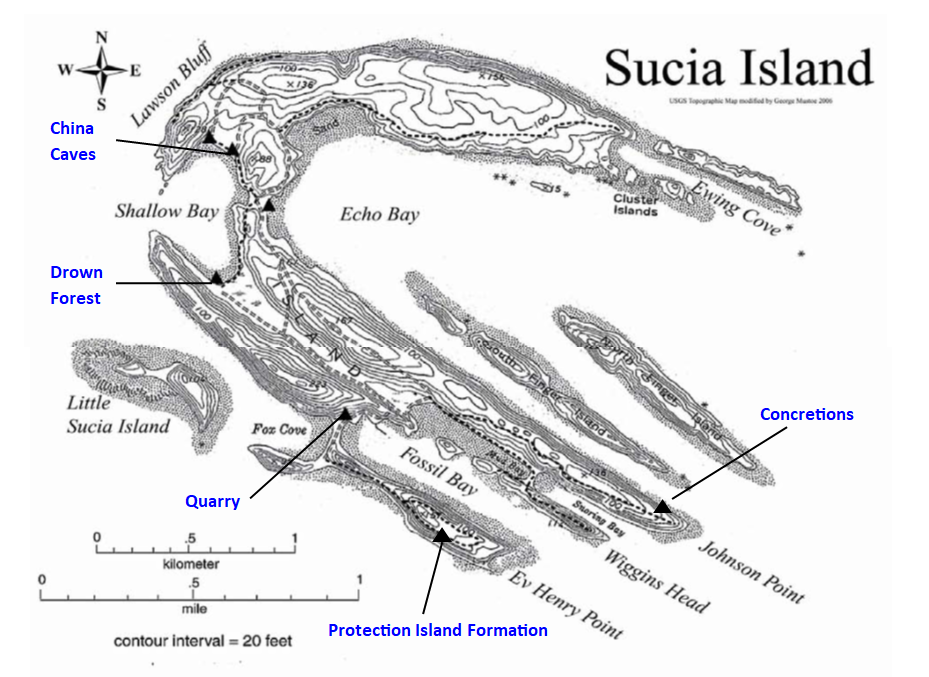
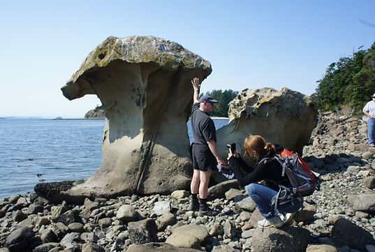
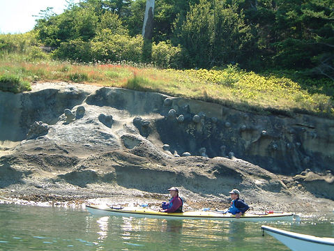
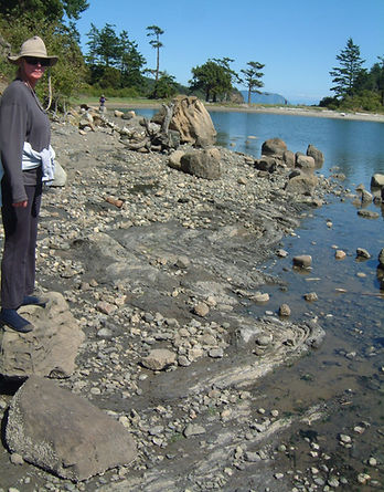
Sucia Island
Lopez Island
Orcas Island/ San Juan Islands Region
PNW Columbia River Basin

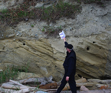
Sucia Island Geology
Topographic Map of Sucia Island with Field Trip visit sites.
Geologic Map of Sucia Island
Q - Quaternary
Ec - Eocene
K - Cretaceous
Strata Dip Direction and Amount in degrees (i.e. NNE, 72 °) and Age date in millions of age before present (i.e. 96 my, middle Cretaceous)
- Syncline axis

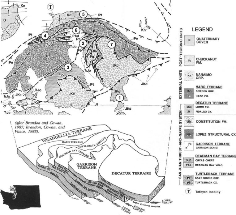
San Juan Islands Geology

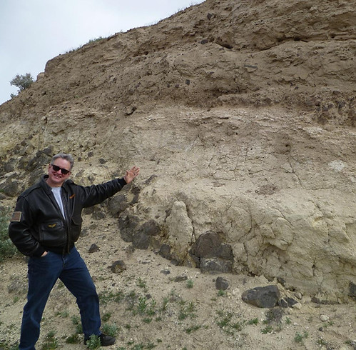
PNW Columbia Basin